I remember complaining about the wind on the first few
days of this walk. Today I would have been very glad for a bit of wind, it was
hot and very humid with not even a slight breeze. It was also very hazy, so much so that the
splendid views I had been promised did not materialise, just teasing glimpses
of them through the mist. Consequently I
took few photographs today.
Today started pleasantly enough, cool in the early
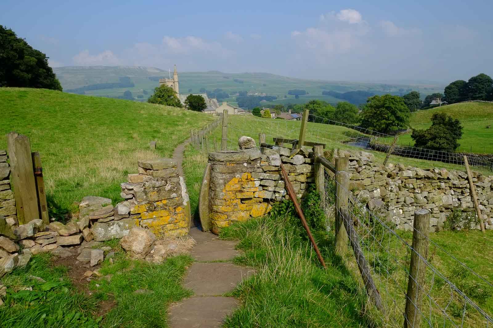
morning as I walked past The Crown at the North end of Horton. We should have
come here last night, instead of going to the Golden Lion where we had dreadful
service, even worse beer and broken wi-fi. Don’t you just hate it when staff
hang around the bar staring at their mobile phones rather than serve you. I
should have known that their attitude to service would extend to the care they
take with the contents of their cellar. The beer was a local brew, probably for
local people, but definitely not to be recommended for the wider world.
Today’s route was mainly on old packhorse routes across
the Dales. This made for some hard walking in places as the track had been
upgraded to a gravel road to service a forestry operation harvesting the trees
that were planted in the 1970s. Pale
grey gravel on a sunny day was not a nice combination, add to that the uphill
gradient and I just walked faster to get it over with.
This is limestone country and several potholes were past
on route. Sell Gill holes for one and possibly Old Ing Pot for another. I may have been down Old Ing in the distant
past, not sure.
 |
| Sell Gill Hole |
The track went past Ling Gill Nature Reserve which is a
little strange because it is a reserve that you cannot go in. It is a limestone
gorge with native trees and flower species specific to limestone and protected
from grazing sheep by its location on a steep sided valley. One of the flowers listed on the information
board was the “melancholy thistle”. Poor
thing I thought, obviously not content with this beautiful location. Had I seen
any I would have offered some counsel.
 |
| Ling Gill Bridge |
The guidebook waxes lyrical about the Ribblehead
Viaduct. I saw just a glimpse of it
through the mist and then it was gone.
The route into Hawes was very pleasant, through the
village of Gayle and then into Hawes round the back of the Church where someone
was playing the organ which lifted my spirits after a rather hard day.
 |
| Hawes, from next to teh cheese factory |
The above picture may look idyllic but actually just to
my left is the Wensleydale cheese factory. I am not complaining, I like a bit
of Wensleydale (but actually prefer Lancashire, don’t tell anyone).
We are tonight camped in the Caravan Club site in Hawes.
Caravan Club sites are consistent in their quality, you know you are going to
get a good shower, with no queue and plenty of hot water. However, they are a
tad sterile, last night’s stay in Chris’s little piece of paradise was more to
our liking.
Catherine did the “Three Cafes Cycle Ride” today. This
route is one of our own making taking in the roads around the three peaks and
taking advantage of cafes in Ingleton, Clapham and Horton. Today Catherine had
a mug of tea and cake in Inglesport in Ingleton which has never failed to
impress.
Long day tomorrow to the top of Tan Hill and Day 8;
halfway beckons. Tomorrow's forecast is grim, heavy rain in the morning and much
colder. The colder I like, not so keen on the heavy rain. Having said that our forecast is 10 hours
old, whilst I can get a phone signal in Hawes, the internet does not seem to
have reached here.
Guidebook said: 14 miles
Garmin says: 15 miles; 5.8mph max; 3.3 moving average;
2.6 overall average; 5hrs 46 minutes with 1hr 15 stoppages.
 |
| Pennine Way and the Three Peaks meet |
AW
Would be impressed if it was Jeruselem being played on the organ.
ReplyDelete